
 QGIS Cloud
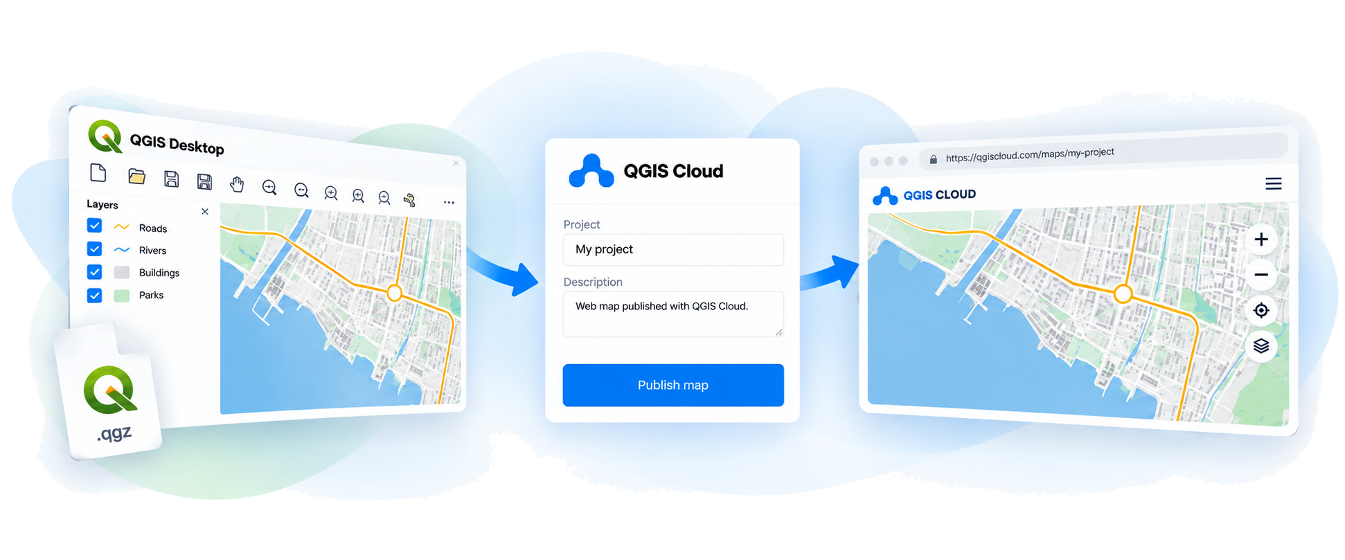

Publish from QGIS Without the complexity
Fast. Simple. Direct.
Save time and skip server setup
Keep your QGIS project exactly as you designed it.
- QGIS-native Built for your QGIS workflow
-
Less effort
Skip server setup.
Save time -
Ready to share
Your map online.
WMS access
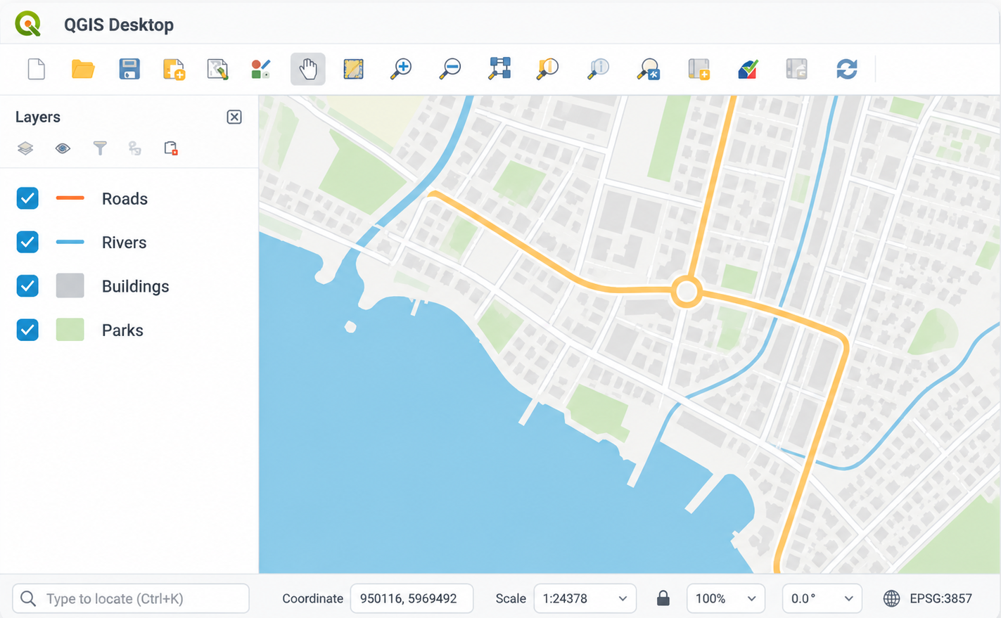
QGIS Cloud
Plugin
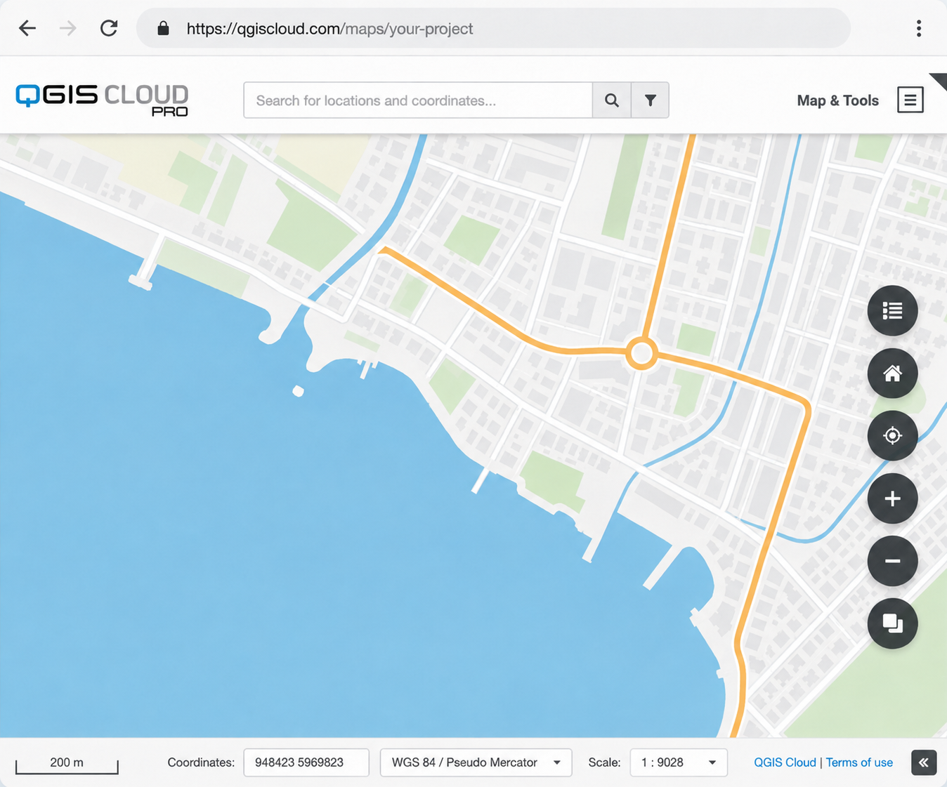
Trusted by over 200,000 GIS professionals worldwide












TESTIMONIALS
What our users say
Read Your Risk, LLC was born to realize the substantial public benefit of mapped flood insurance premiums. Prospective home buyers can readily educate themselves and make informed decisions on their potential flood insurance liability. QGIS Cloud enabled Read Your Risk to get its message out in the form of easily published online maps. Showing these maps online inspired collaboration with University of Wisconsin and research on the economic effects of a new U.S. flood insurance pricing approach.
Paul Cocca
CEO, Read Your Risk, LLC
We leverage QGIS Cloud in our transport projects (feasibility studies, public transport studies, strategic transport documents and other) for effortless visualization of results and seamless communication in a single, efficient platform.
Katarina Jarža
Director in Consulting, EY Croatia
I found QGIS Cloud to be a useful tool for one of our successful ongoing projects whose object is to provide a platform which allows access to the spatial and textual data extracted from the applicable General Urban Plan of Lerești (a Romanian commune located in Argeș county).
Silviu Cioflec
Founder of Urban Area Soft
We use QGIS Cloud to create many online maps for our colleagues, partners and clients. Not only do we provide detailed insights in our own route networks for the recreational industry, but also for the agricultural industry and companies who manage historical and valuable (agricultural) land. These online maps have proven to be useful in collaborating with clients and stakeholders, who in return can provide this information to their clients.
Herman Hofman
Datamanager Centride
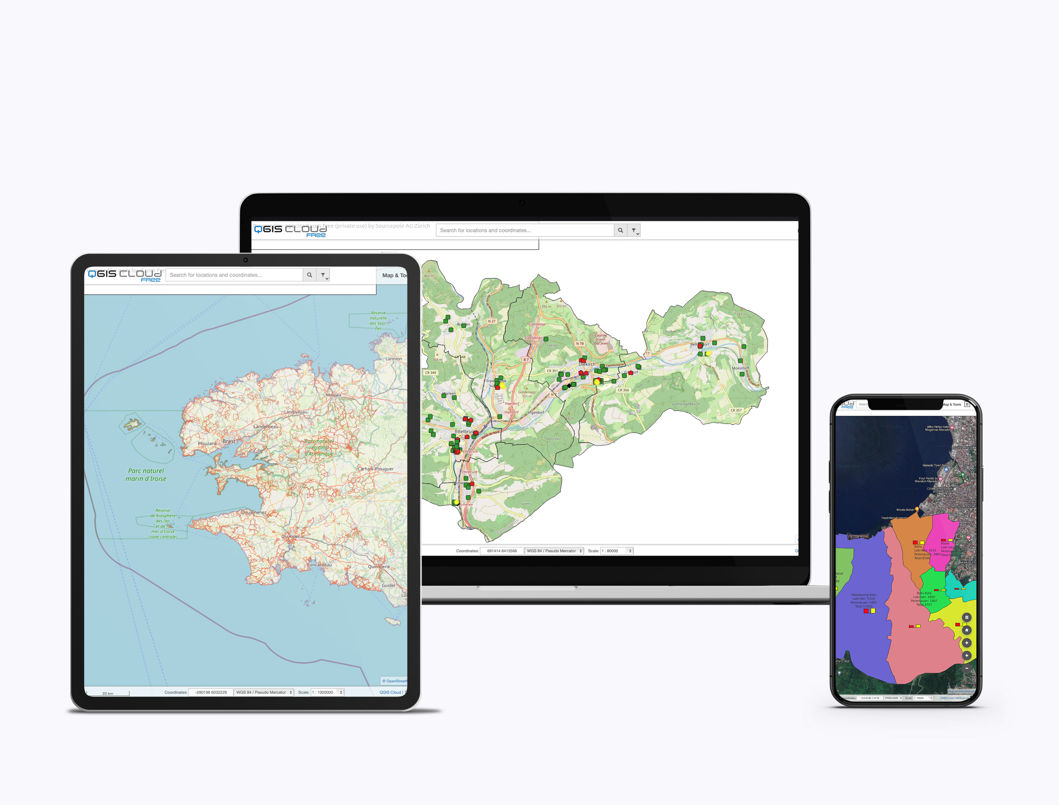
Publish once.View anywhere
Your web maps work on desktop, tablet and mobile.Just share the link – no additional software required
Need help getting started?
A short guide takes you from installing the QGIS Cloud plugin to publishing your first map.
Services to Support Your Needs
Create maps
Create maps in QGIS Desktop and publish them online.
- Use familiar QGIS styling tools.
- Publish maps and data with the QGIS Cloud plugin.
- Get your maps online in minutes.
Manage data
Manage PostgreSQL/PostGIS databases directly in QGIS Cloud.
- PostgreSQL 12 databases with PostGIS 3.
- Create a database with one click.
- Manage it with QGIS, DBeaver or other standard tools.
Security
Keep your cloud-hosted data and services secure.
- Password-protected database access via SSH.
- Restrict access to selected resources with QGIS Cloud Pro.
- QGIS Cloud Free services remain publicly accessible.
Print maps
Provide high-quality WMS maps for printing.
- Create print layouts in QGIS Desktop.
- Choose the layout and paper format you need.
- Print at resolutions up to 1,200 dpi.
Share
Share maps and data through OGC-compliant web services.
- Display maps via WMS.
- Download or edit data via WFS and WFS-T.
- Password-protect non-public resources with QGIS Cloud Pro.
FAQs
Find quick answers to common questions about QGIS Cloud.




Find even more answers to questions about QGIS Cloud.